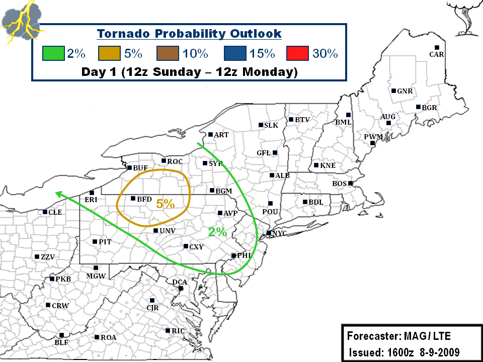
Last change, after some good discussion, we decided to hoist a 5% Tornado probability for parts of Western/Central NY and North Central PA. I have reasonable confidence that in front of this nasty line of severe weather that we can get some cells to fire out ahead. This region roughly encompasses where it has essentially cleared out as evidenced by the visible pic:
.gif)
This area of clearing is along the warm front and just south of it in the warm sector, where the heating and high dewpoints and associated CAPES and some reasonable shear would make any storm development out ahead have a high probability of becoming severe. Additionally, the line itself could also have some shenanigans up its sleeve once it crashes south. We're going a lil bit more heightened on the tornado threat, but I think its something to watch.
..GLUNT/EGAN.. 08/09/2009


Discussion...
No comments:
Post a Comment